Take the opportunity to see one of the most important relics of early Christianity, a mosaic map of the Holy Land, when you visit this beautiful basilica.
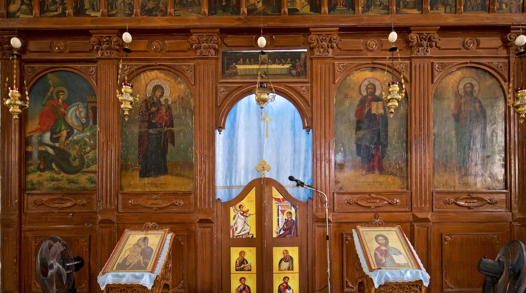
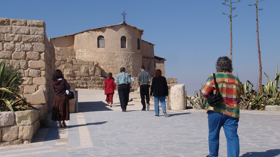
Admire an invaluable piece of history in the Basilica of Saint George. The ancient mosaic map housed in here is famous all over the world and has incredible religious significance.
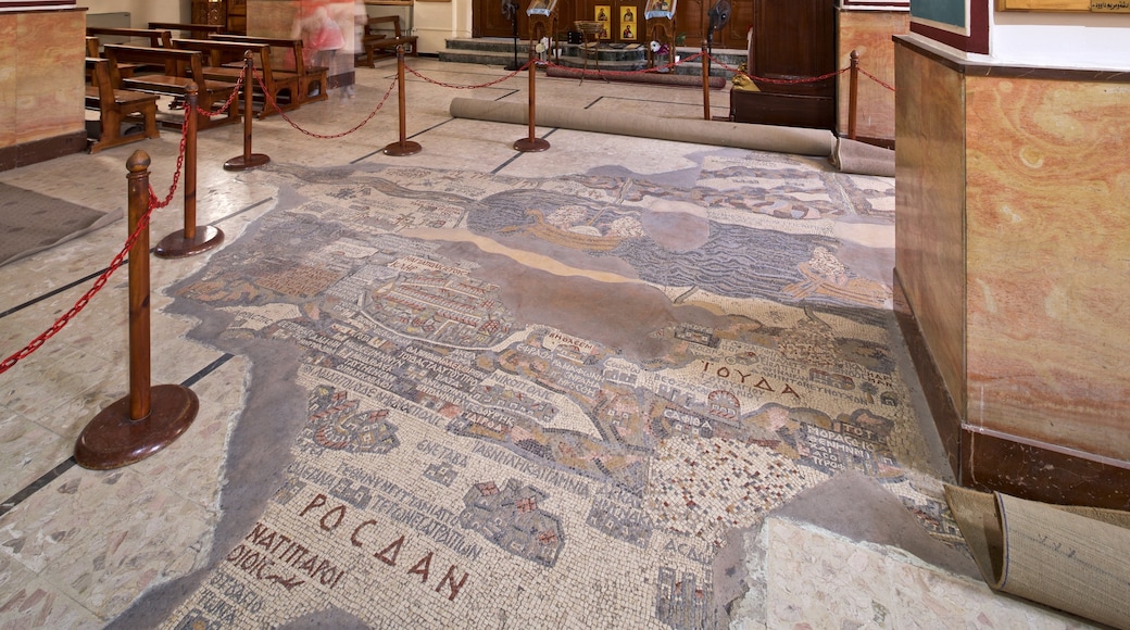
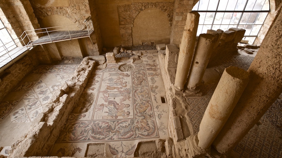
When builders were at work on the Basilica of Saint George in 1884, they uncovered the remains of a Byzantine church. Upon closer study, they discovered that the image depicted on the mosaic floor was, in fact, a map of the Holy Land. The mosaic is the oldest map of the region ever discovered, offering insight into the long history of the Holy Land. Give yourself plenty of time to see this wonderful artifact.
Crafted between A.D. 542 and 570, the map depicts the major biblical sites in the region. Look for Jerusalem and Egypt. While experts say that the original mosaic was made of more than 2 million pieces, much of it today has been lost. Despite the gaps, the map has been extraordinarily important in shaping an understanding of the region’s history.
The mosaic that holds the map was originally approximately 1,010 square feet (94 square meters) in size. Visit today and you will see that only a quarter of the map is still in place, but its size is still striking. Thankfully, the portion of the mosaic that remains includes Jerusalem, the Dead Sea and part of the Sinai.
The map features 157 Greek captions that label the most important sites in Biblical history. In addition to providing deep historical insight, the map is a beautiful piece of artwork made with brilliantly colored stones. Look closely to see striking images of fish, palm trees, animals, rivers and other elements of nature.
The mosaic is open to visitors year-round and is only closed on Sundays. Mass is held in the mornings on Friday and Sunday. All are welcome, but it is not possible to view the map during these hours. Purchase entry to see the mosaic in the ticket office. Children under the age of 12 are admitted free of charge.


