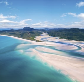
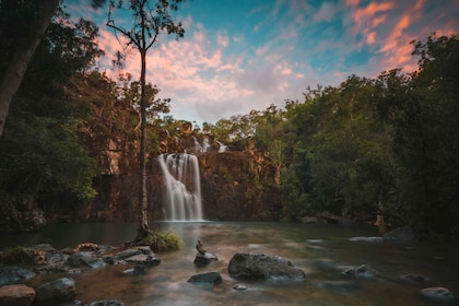
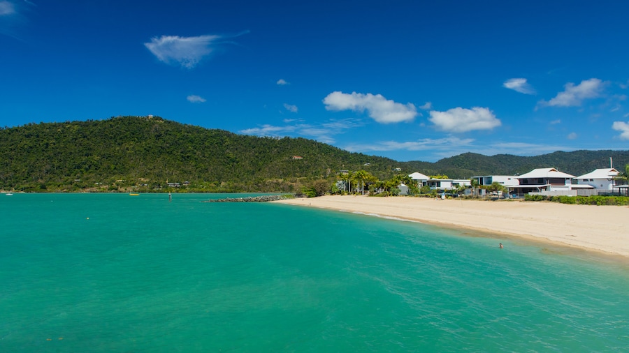
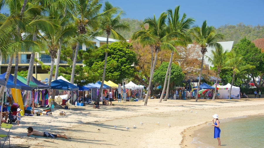
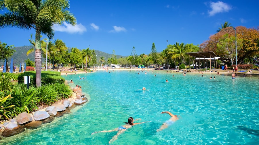
For a taste of Tropical North Queensland, explore this national park with its rainforest-clad hills, coral beaches and breathtaking Whitsunday Islands views.
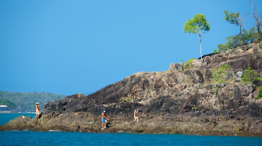
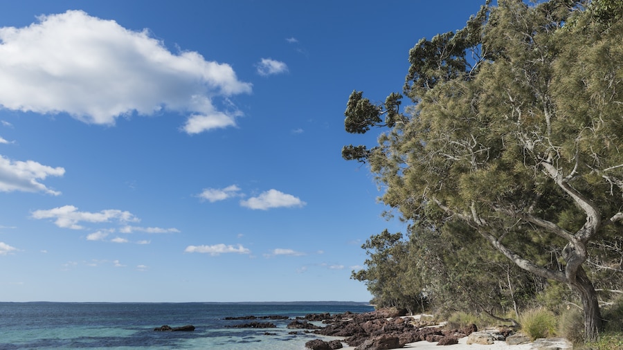
Laze on secluded beaches, explore the rainforest and hike up the peaks of the Conway Range for great views out over the Whitsunday Islands in Conway National Park. The Conway Peninsula covers 21 miles (35 kilometers) of coastline along the Whitsunday Passage.
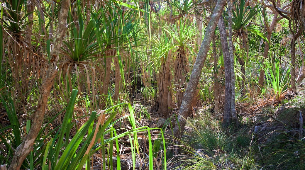
Start just outside of Airlie Beach, where a short rainforest trail leads you to Coral Beach. Afterwards, drive to the park’s picnic area and follow the Circuit Track to see more of the rainforest. Mangroves, ferns, vines and orchids thrive in this lowland rainforest. Extend your walk by taking the track that branches out to Haywood Gully, a 2-mile (3-kilometer) loop.
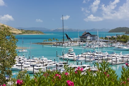
For something a little more challenging, follow the Mount Rooper Walking Track to the summit lookout point and look out over the Whitsunday Islands of Hamilton, Dent, Long and Henning. This 3.4-mile (5.4-kilometer) circuit walk is marked by typical Australian grass trees and wattles. Read the signs that describe how Aborigines used different plants in this area.
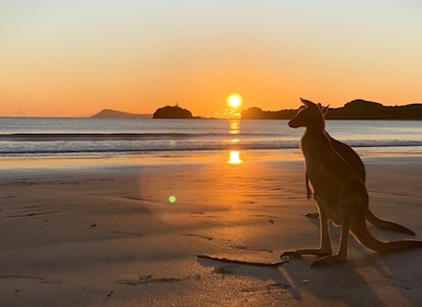
Follow the creek bed at the base of Mount Rooper, named the Swamp Bay Track, until you arrive at a pebbly beach overlooking Daydream Island. If you’d like to spend the night, pay the small national parks fee for the camp site online or on the spot. At dusk, watch the Proserpine rock wallabies emerge from the forest.
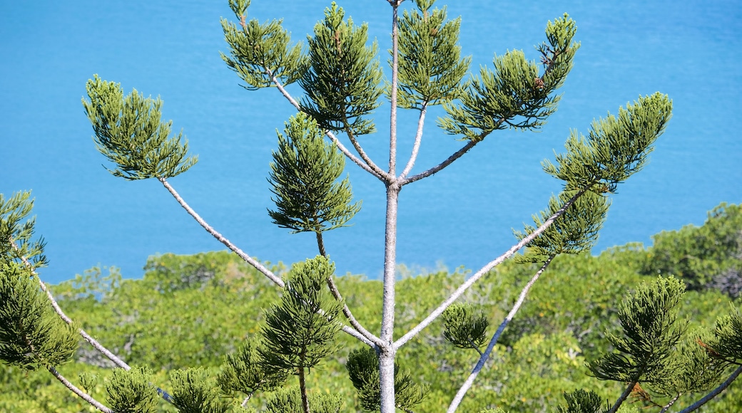
Part of the strenuous, multi-day Conway Circuit walking and mountain biking trail, the hike up to the Honeyeater lookout provides stunning views of the sparkling blue waters and tropical islands below.
Conway National Park offers you a taste of Tropical North Queensland without actually going there. This miniature version of the Daintree rainforest may be less famous, but is more accessible.
The park is situated between Bowen and Mackay, about 15 minutes by car from Airlie Beach and about 19 miles (30 kilometers) east from the Whitsunday Coast Airport at Proserpine. If you don't have a car, take the bus from Airlie Beach and hop off just before Shute Harbour for easy access to Coral Beach.

